Real-time low-cost monitoring for hydro-geomorphological risk reduction in Chile
Risk to life, infrastructure and property is considerably enhanced when flood waters are loaded with sediment and floating debris.
Along the Pacific coast of Chile, El Niño precipitation events generate widespread catastrophic floods. In March 2015, for example, in the Atacama, northern Chile resulted in over 30 deaths, 8200 homes destroyed or damaged and the displacement of 35,000 people.
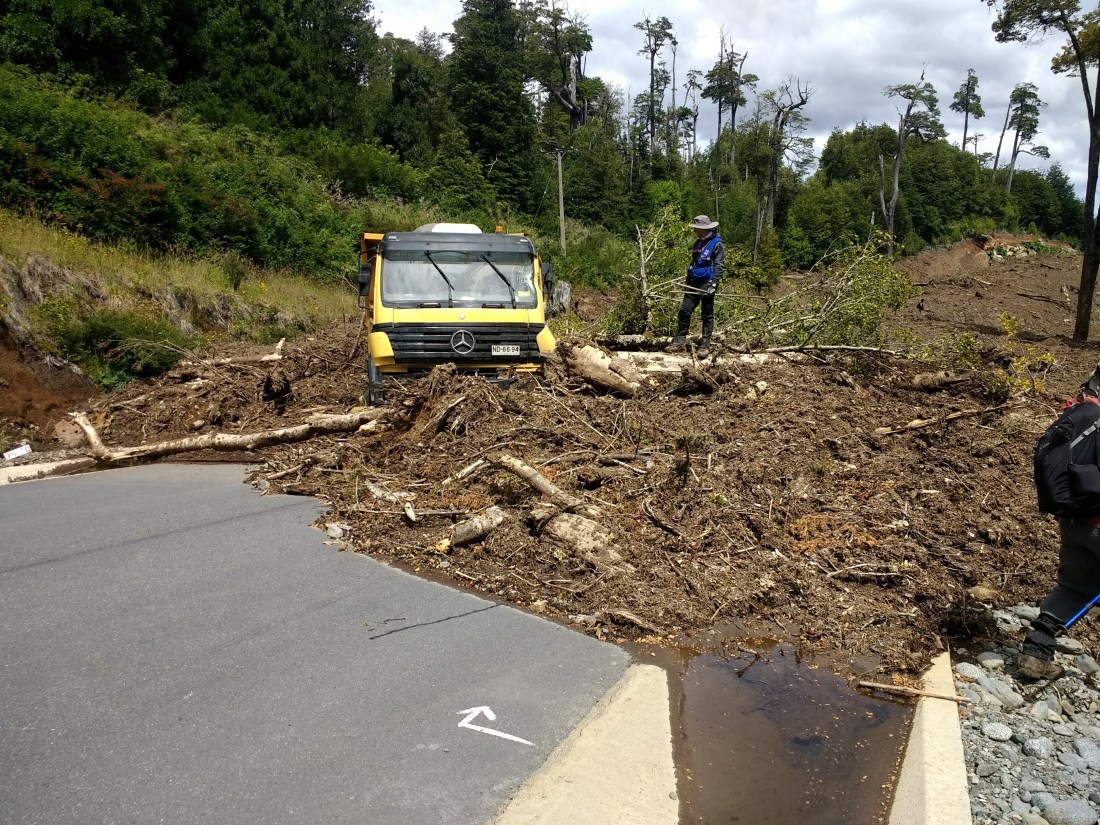
As Chile is one of the most geomorphologically active countries in the world, extreme rainfall events rework large volumes of volcanic sediment. Extreme rainfall during El Niño also generates destructive debris flows that bring mine waste, sediment contaminated with heavy metals (including arsenic), into agricultural and residential areas; this has the potential to heavily on drinking and irrigation water.
A vehicle caught in a debris flow
The increased stream power during high flow floods drive erosion and deposition of sediment which in turn bring about significant changes in channel cross-sectional geometry. This change in geometry can significantly alter the risk of localised flooding with the potential for a reduced channel capacity close to populated areas.
Difficulties involving the instrumentation of catchments deemed to be vulnerable to extreme runoff events in Chile, and other developing countries include: (i) the technical challenges of building accurate and resilient systems; (ii) the cost of implementation and maintenance, and (iii) access to adequately trained staff.
This project undertaken by Newcastle University utilises low-cost non-contact sensors and platforms that are designed to overcome these restrictions. Additionally, by providing adequate training with the relevant agencies, there will be a legacy that ensures that the monitoring network in Chile has longevity beyond the project duration.
Project Approach

The project uses an optics-based approach for stream flow measurement. It deploys low-cost near-infrared cameras at fixed monitoring locations, which will acquire video footage in full HD (30fps). The camera footage is then subjected to optical flow tracking techniques using the application of several approaches including large scale particle image velocimetry (LSPIV) and Kanade-Lucas-Tomasi (KLT) flow tracking.


Non-contact monitoring equipment at one of the sites
Additionally, open-source turbidimeters are being used to estimate fine sediment flux with three-axis seismometers providing information as to the magnitude of entrainment and rheology of flow.
These low-cost sensor platforms can be rapidly deployed to provide fast, real-time monitoring of catastrophic floods, including debris-flows, acquiring flow velocities, depths, inundation areas, and other data that has not previously been available.
Using the above approach the research are able to extract key hydrological parameters:
- River stage (m)
- Rate of stage change (m per 5 minutes)
- Velocity (m/s)
- Discharge (m3/s); and
- Suspended sediment concentration
To supplement the fixed monitoring network there has been period re-surveying of channel cross-sections, the development of a stage-flow rating curve using a portable ADCP and the detection of large-scale morphological change using UAV footage and Structure from Motion princples.
